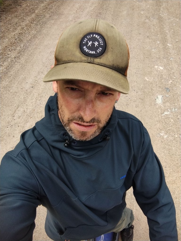
Hike and Fly Quartzite Mountain, Flight 103, Flew Through Rain, Scooter Ride To Car, 3DP, NHL, Sun - Wednesday
Woke up yesterday to see the little storms on the doppler to the south and the edge of them was just visible over the hill. It was a bit odd of a morning for me with some weird thoughts running through my head regarding flying. It was a bit disconcerting for me to have them rumbling around in my skull and tried to disregard them as much as possible. I was pretty sure it was just my uneasiness about flying my new harness and so I grabbed my spare reserve bridle as a possible set of leg straps if needed.

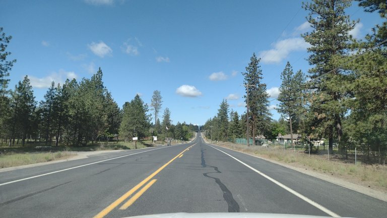
The winds were looking correct and the sky was mostly clear as I drove north a little after 9:30.
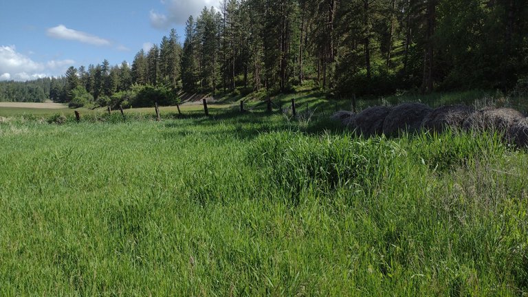
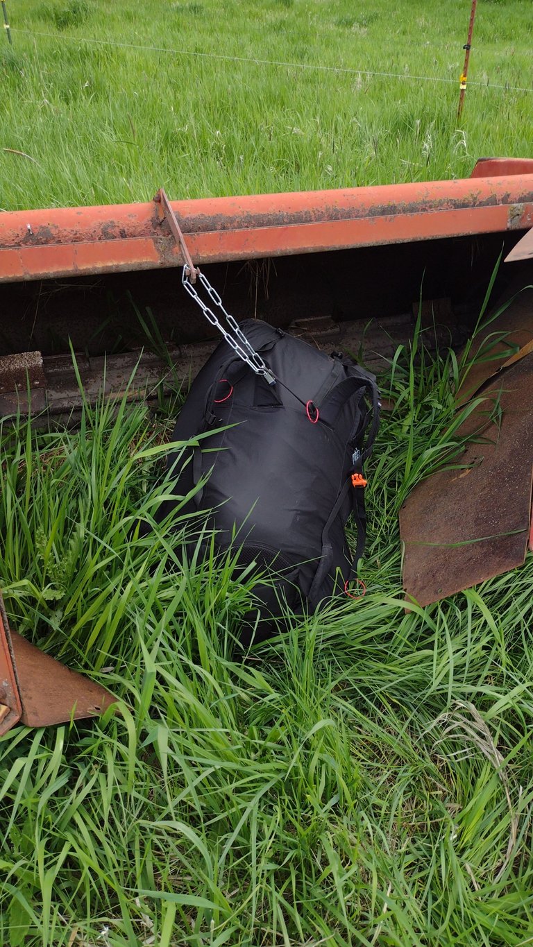
I got to the landing zone and pulled the scooter out and dropped it behind stuff in the grass.
The clouds were moving in a bit but looked like no problem.

Then I drove the 4 miles up the hill to the trailhead and the whole drive up the hill I was just shaking my head figuring there was NO WAY the scooter was going to make it the whole way back up. I was nearly ready to just turn around and leave but gave in and went for the hike, knowing I could just hike down. There was a younger couple that were getting ready to hike up so I let them get ahead of me a bit as I figured I would catch up to them.
The trail is pretty steep the whole way and I just kept the legs moving with only a few short stops to catch my breath or let the lactic acid lower a little in my legs.
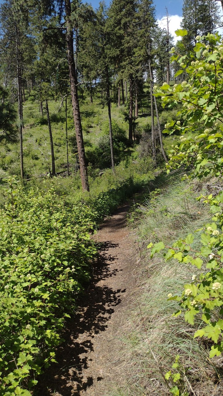
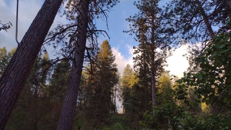
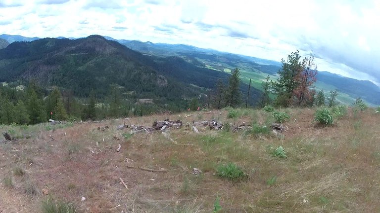
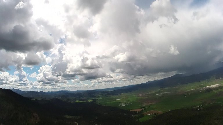
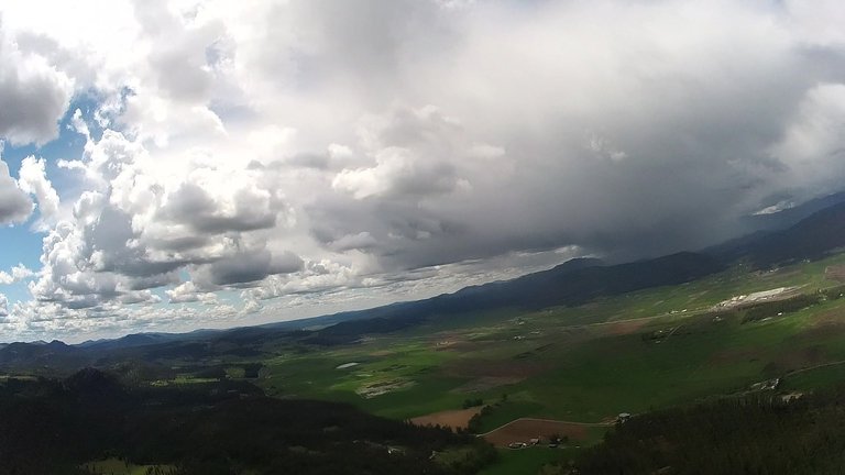
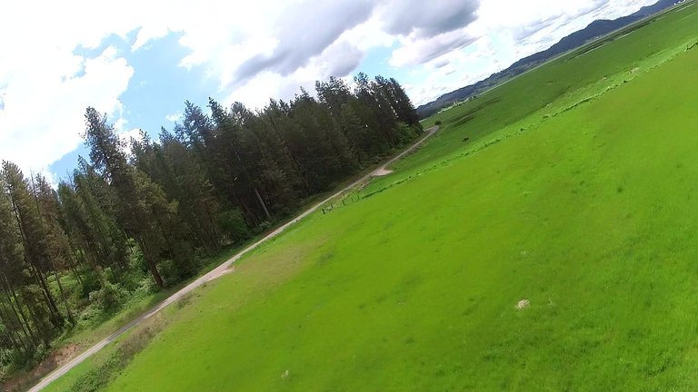
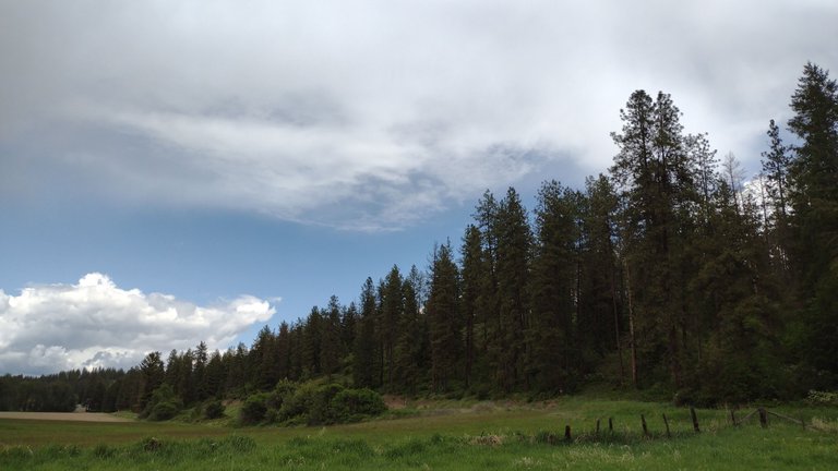
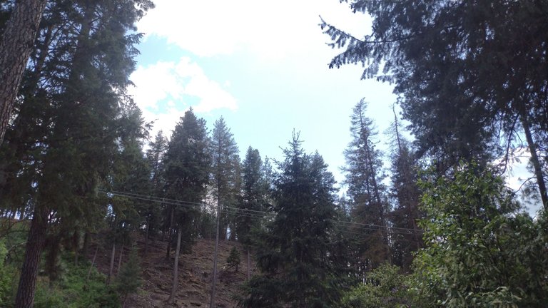
Nearing the you get the first good view out over the valley.

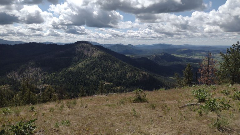
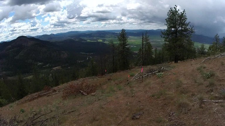
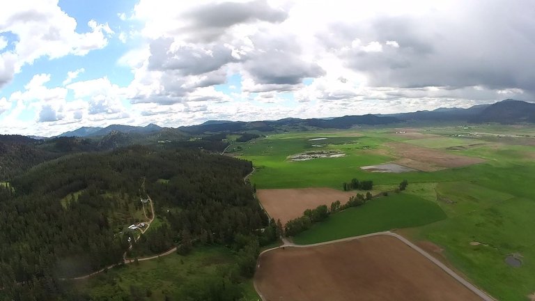
THIS is the launch site. It faces south southwest and looks right at the back side of Parker mtn that we have launch sites on.
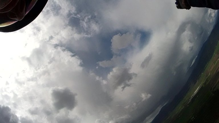
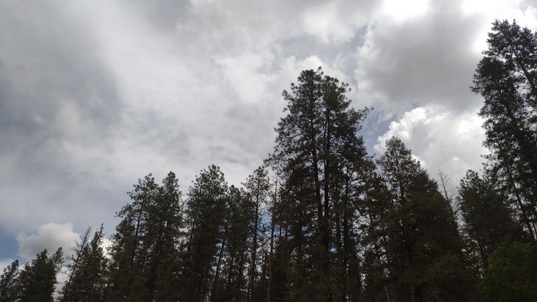
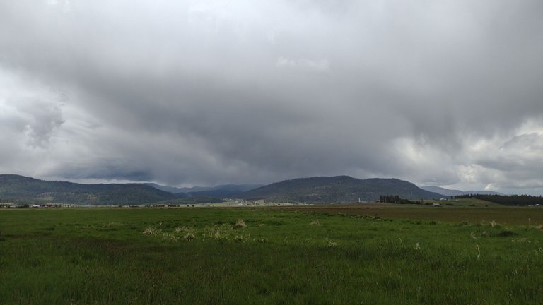
Looking west to Chewelah. ANNNNNNNDDDDDD the rain hitting the mountains to the west.... which had my head working overtime.

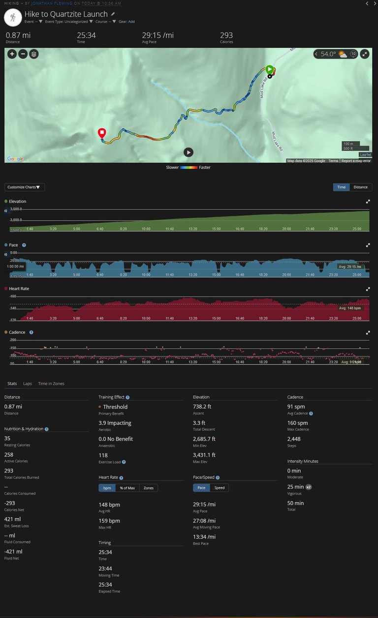
25 minutes for the .87 miles and 700ft of vert is pretty good carrying a 20 pound pack. The hike was way faster this time with a much lighter wing and harness.
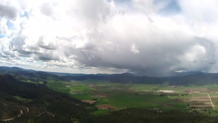
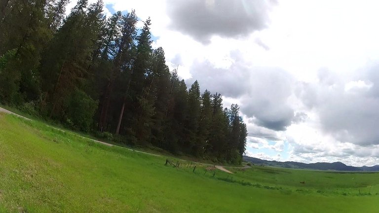
So I then sat and stared at the sky for an hour waiting for the cycles to work right. The clouds kept building bigger and bigger and a few gust fronts hit from cells that built up to the east of me. The birds were all out floating in the lift inviting me in like, "hey come on in the water's great!". First the Ospreys, then the ravens, then the hawks. 8 different big birds floated out there showing me the lift.
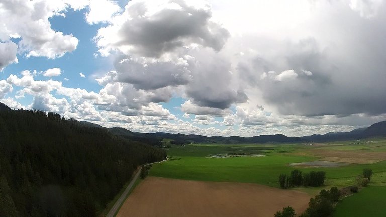
I kept watching the clouds as they built up and the sky began to over develop. The rain was getting heavier on the mountains to the west and the clouds were getting thicker. I finally got unpacked and got all my gear ready for a flight.

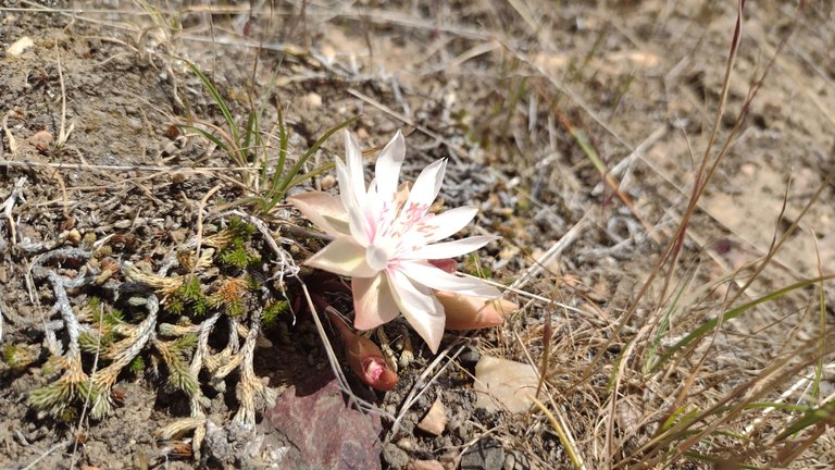
The flowers were in bloom nicely.
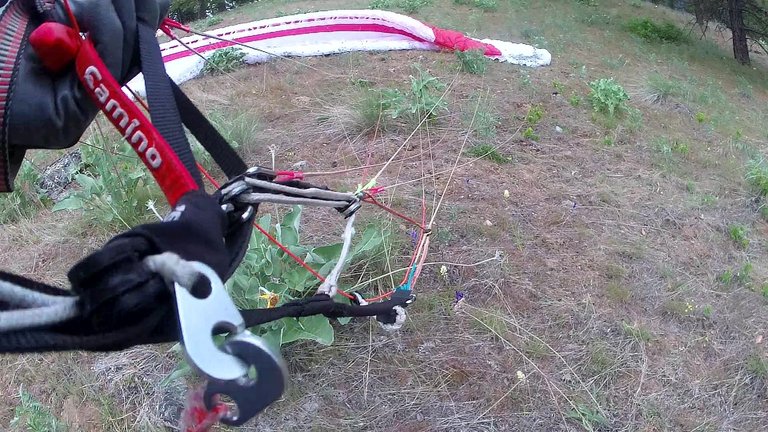
I was VERY intentional with my setup routine. I turned my attention fully away from the sky and focused only on the steps needed to make sure I was completely ready to fly.
The wind cycles came through in weird timings but I eventually managed to find the correct cycles to get the wing inflated and ready for flight.
I had EVERY INTENTION of hiking my ass back down the hill if things didn't seem right for flight. Which I by all rights should have done for the fact that I had ignored the sky the prior 10 minutes and didn't see the enclosing rain.
The cycle hit right, I pulled my wing up, turned, then ran.
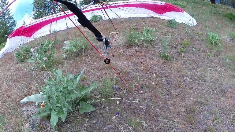
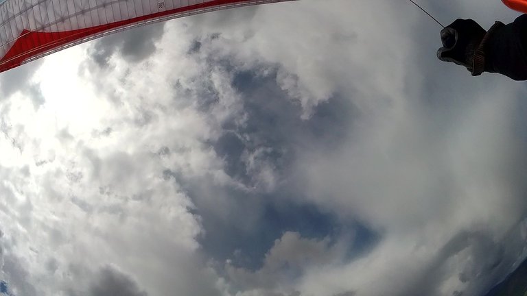
The wing took my weight quickly and after a 2nd touch of the ground I was airborne for my first flight in my new harness.
I kicked my legs into the pod which flopped my reserve about and caused the camera to aim wrong. My feet hit the end board in the pod and as I pushed on it the harness became solid and I INSTANTLY felt comfortable in it, FAR BEYOND any level of comfort I have felt in my open harness. ON THE FIRST FLIGHT NO LESS!
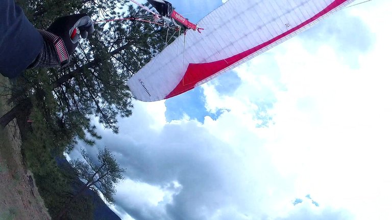
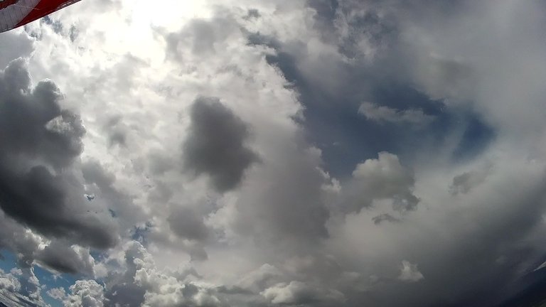
The camera did give me great shots of my wing over me.
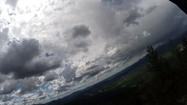
And of the densening, darkening, and raining clouds.
I had a moment to let go with my right hand and slopped the reserve back in under the pod fairing so it then pointed correctly.
I was only about 2 minutes into the flight when I heard the distinct tink tink tink and tap tap tap as drops of rain began hitting my harness, shirt, and helmet.

I have ONLY read NOT TO FLY IN RAIN...
Which I wouldn't have had I known it was THAT close....
So there I was in the sky getting hit by rain drops and all I could do was aim for the landing zone and let the glider lose elevation.

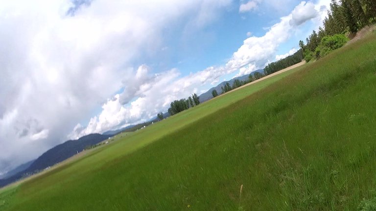
My first flight from Quartzite last year had me much lower over the brown square field and I barely cleared the row of trees above it.
This time I had a lot more elevation coming in so rode the glide, my best final yet that I can remember of any flight.

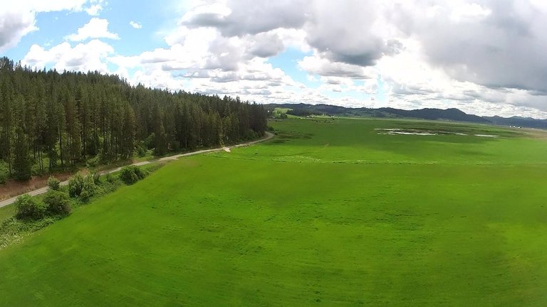
Soon I was past the tilled field and I was looking at the spot I dropped my scooter.
I had too much height so I did a couple s turns as I really didn't want to land into the fence.
Popped my legs out of the pod and prepared for landing by porpoising the wing to slow it enough.
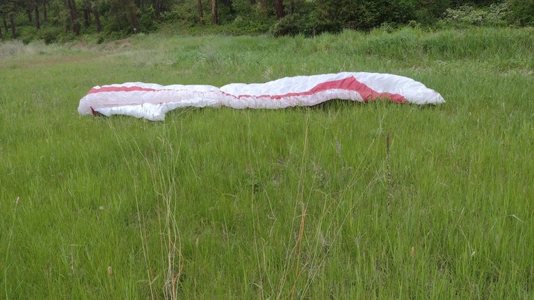
My feet hit the ground in a run and I dropped my wing to the ground soon after.
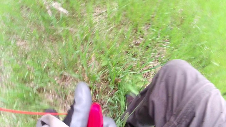

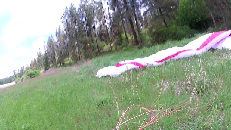
One of my best ever landings, put the wing down less than 10 feet from the road.
And about 50 feet away from my scooter!
I had just landed and I looked up above the trees and a hawk screached at me as it flew by, I feel they were checking on me since then a raven flew by a little later and cawed at me. They had invited me in and I went.
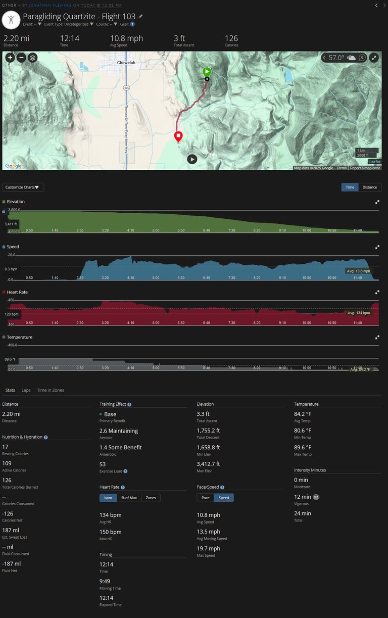
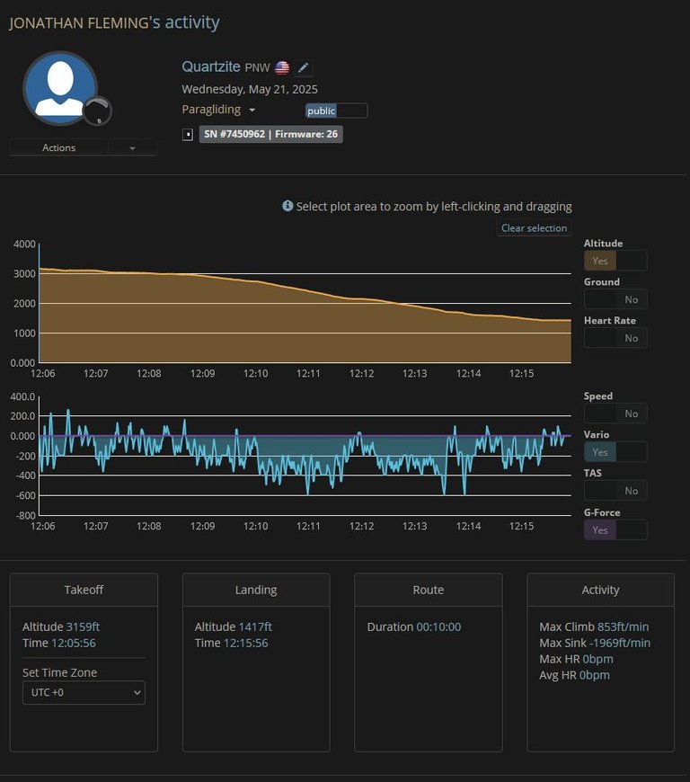
The data from the flight.

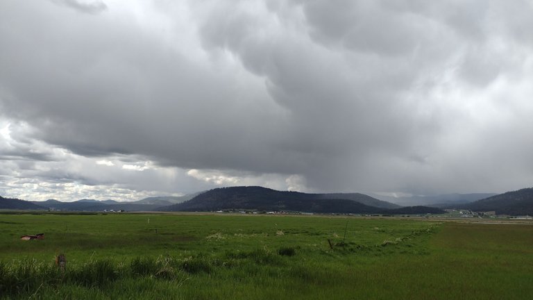
The over development was pretty heavy and the clouds were really dark.
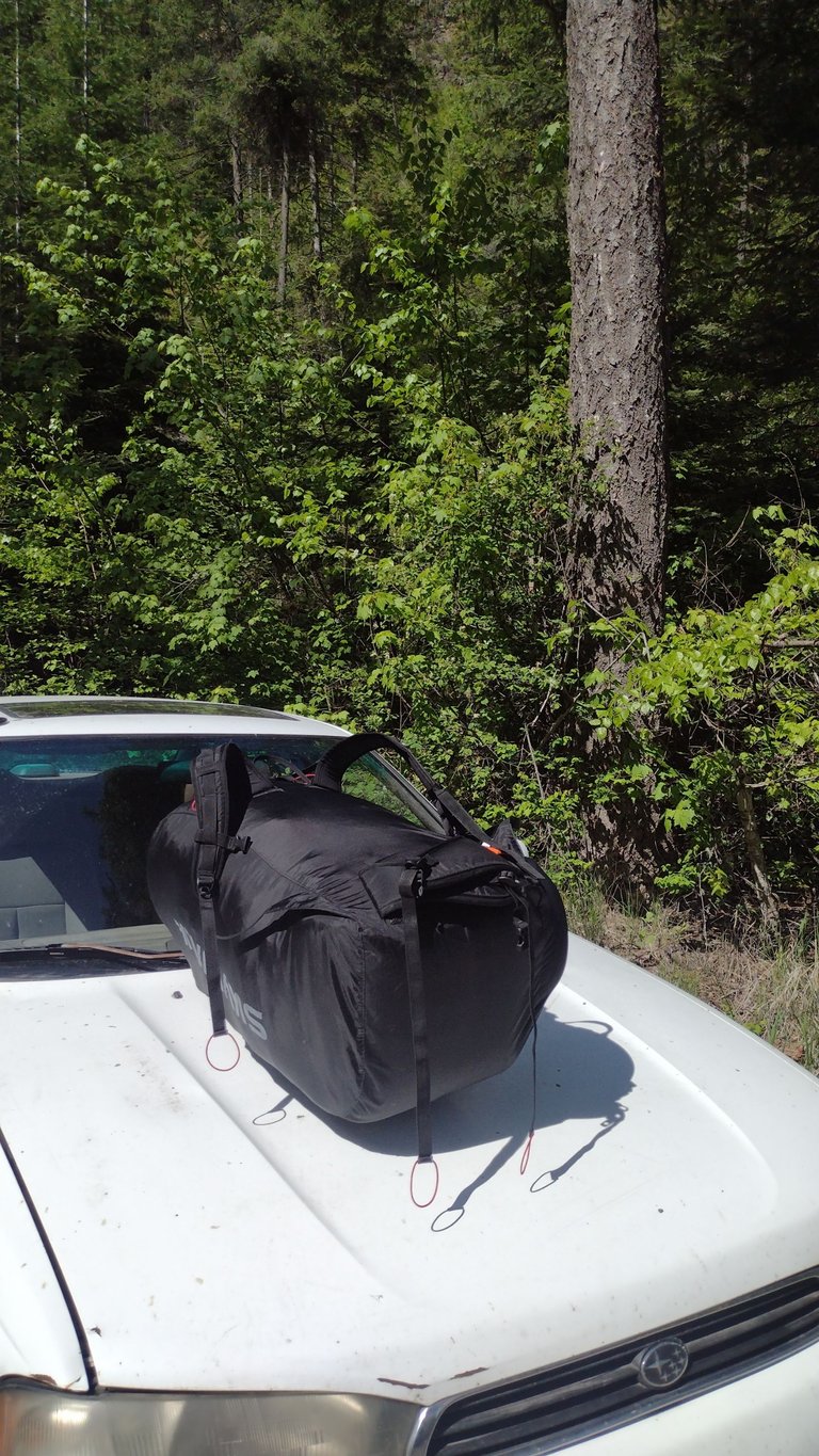
I packed up my wing, locked it to the implement, then took the scooter on its big test.
The thing has some issues for sure, it could barely go up the hill so I was doing a TON of foot pushing to help it along on steeper sections. It was not super easy but it was FAR FAR better than walking the whole way.
The entire ride up the hill I kept saying to myself, "at least it got me this far" but the thing just kept plugging along. I was rather surprised since something inside needs working on since the power would be shit like it was working on half charge then all of a sudden would kick back into full power.

None the less the little fucker made it 4.2 miles and over 1000 feet of vertical climb in 30 minutes!

It would have been a couple hour hike back to the car if it wasn't for the scooter. In spite of my concerns it is proving to be a very worthwhile build.

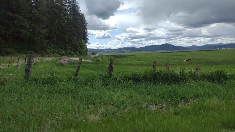
So I tossed it in the trunk and mobbed back down the hill to pickup my wing. As I drove the road next to the lz I saw it had rained while I was riding up. There was rain all around the valley and my pack was a bit wet. I tossed it in the car and headed for home.
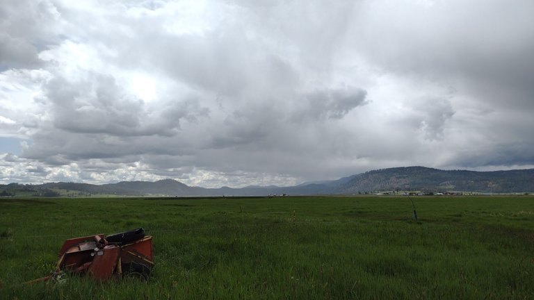
Quartzite is the middle peak there.
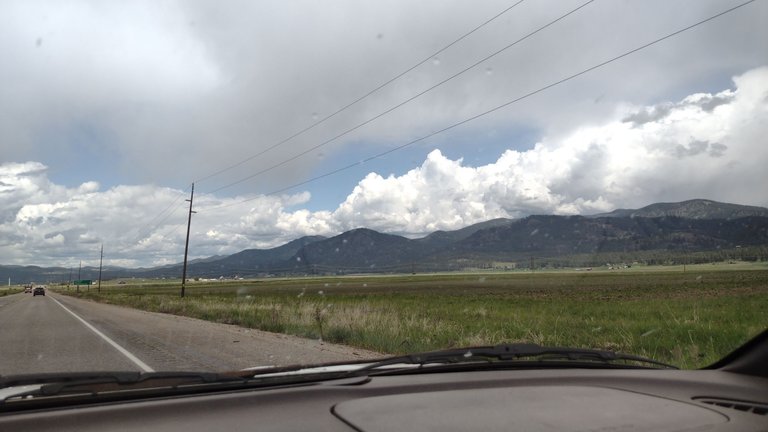
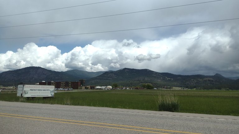
I drove up to Spoko fuel by the casino for gas and the clouds were thicker and thicker.
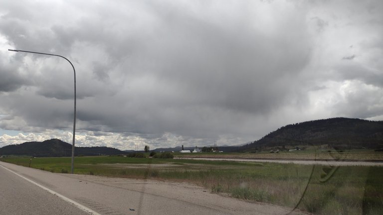
AS I headed home I could see the rain bands running through the mountains.
I was home by 2pm and the sky was clear.... Figures.
J wanted to use the printer but we needed to use up the spool of filament which I did with a few of the gliders.

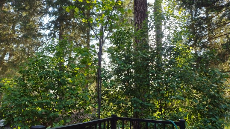
Dinner on the deck in the nice sunshine.
Hell of a comeback for Dallas and I love watching Mcdavid be pissy and upset.

The Stars pounded them good and hopefully continue to do so.

Out to soak while I dealt with a sudden tweak in my left shoulder around the socket.

Rain floating around to the south this morning, I'll get the boys to school soon, wash my clothes, move fence across the farm to where it will be getting put up, check on the garden rows, PDC is on mid day, then this evening is RAM Fest at the high school we will go to.
ᛏᛋᛇᛉᚱᛚ
SIGNUP FOR YOUR NEWTON PORTAL ACCOUNT AND WE BOTH EARN!
| 2025 Y/E Hive Goals | Yr Start | Goal | Current | +/- Goal | +/Week |
|---|---|---|---|---|---|
| HP | 30,013 | 36,500 | 32,977 | +501 | 85 |
| Hive Posting Streak Days (since 5/25/20) | 1681 | 2,047 | 1,823 | / | 5 |


^Affiliate/Referral Link^
Fleming Family Farm
FLEMING FAMILY FARM, LLC
Sustainable & Organic Methods | Heirloom Produce
All images are original works of Fleming Family Farm unless otherwise notated and credited.
If you find this post useful or entertaining, your support is greatly appreciated by upvoting, following, and sharing!

You can Also Find Me On:

Donations or Tips

Zap Me ⚡️ ᛒᛏᚲ


#proofofshare
Nostr
Awesome flight!🤗
Beautiful country, glad you enjoyed your new pod!👍😊